Maps of Sligo Creek


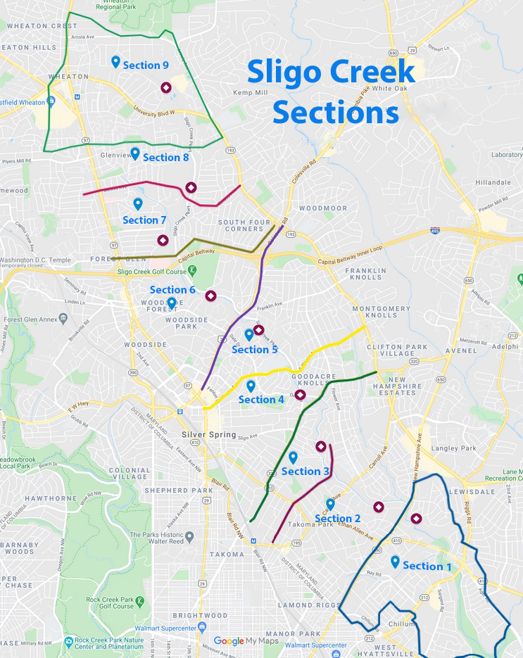
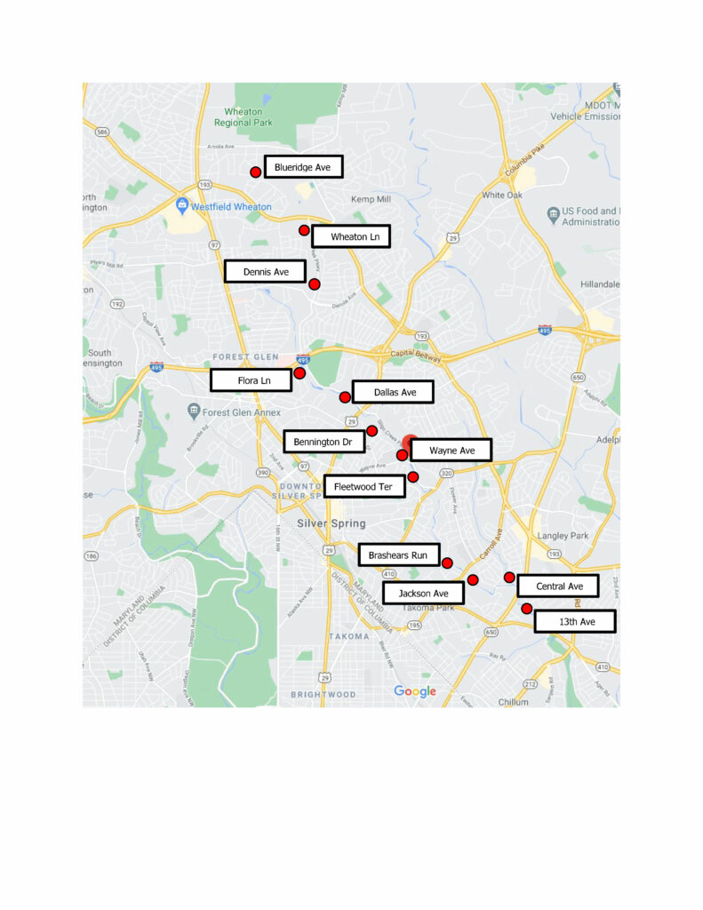
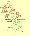
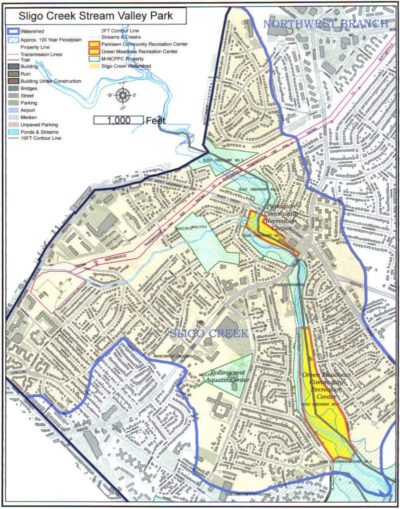
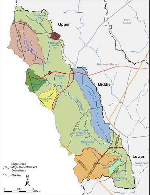
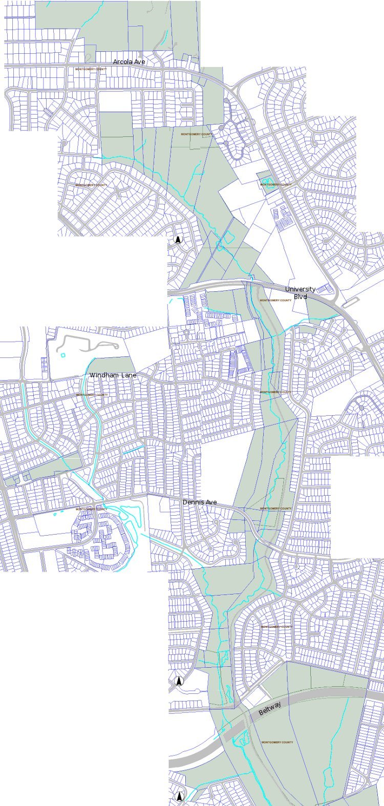
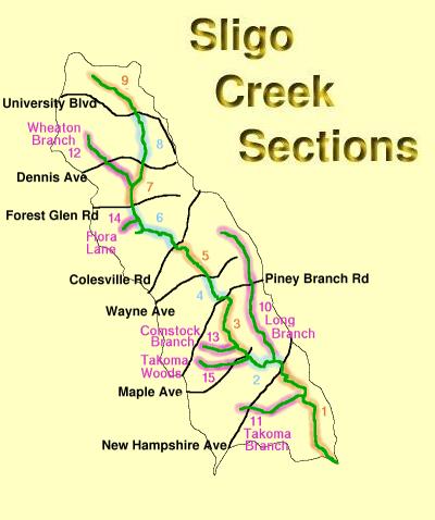
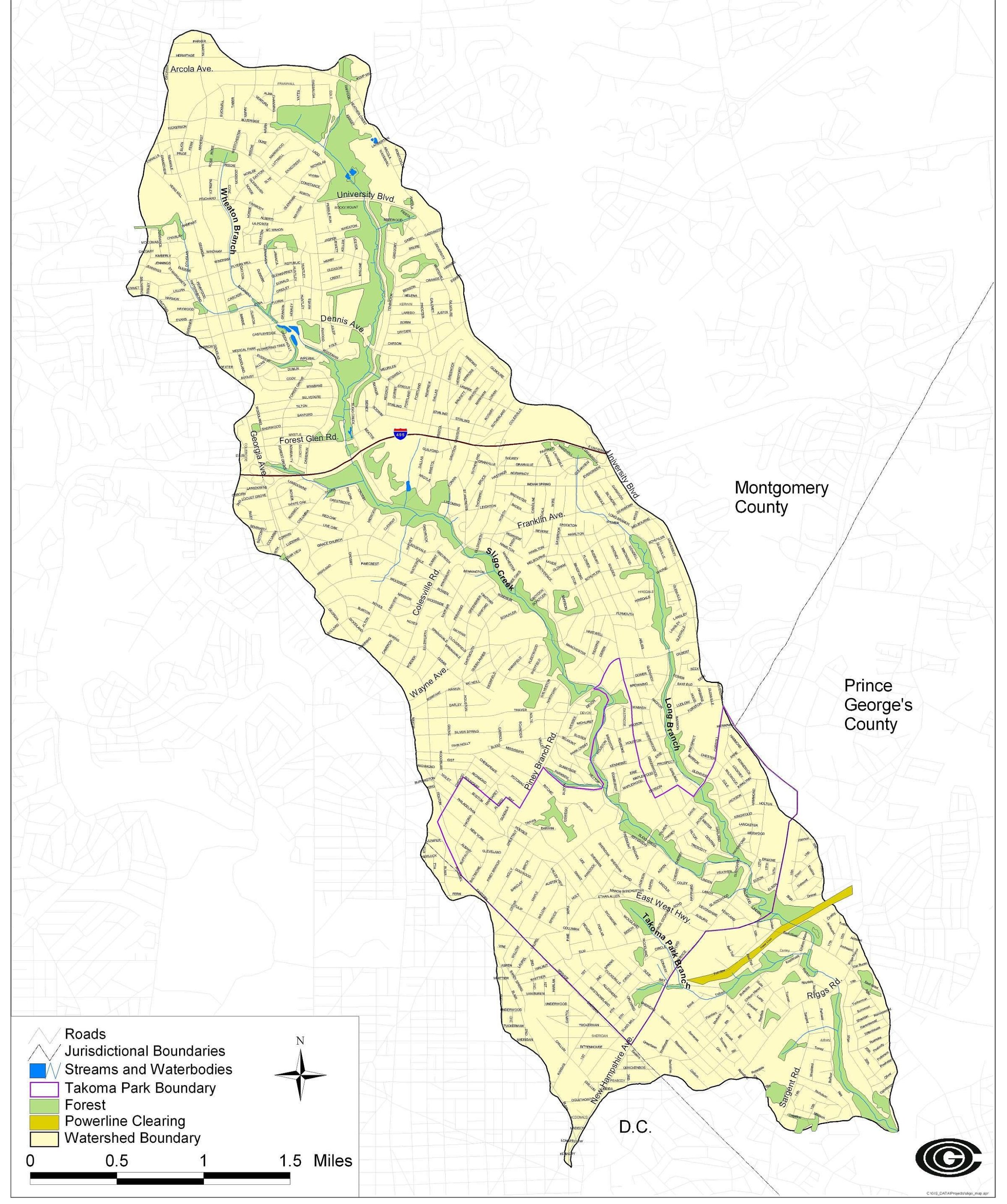
Sligo Section Map – Sections 1 – 15 showing Sligo tributaries
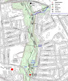
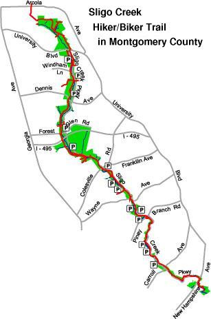
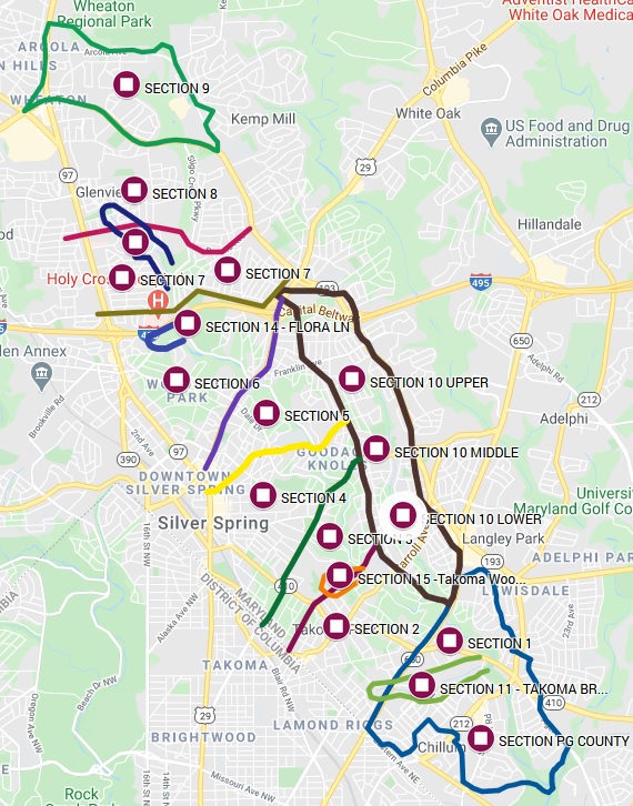
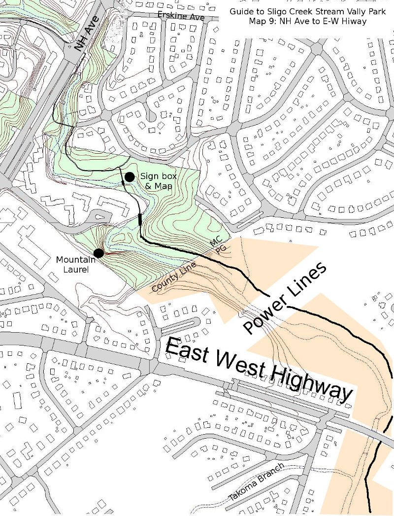
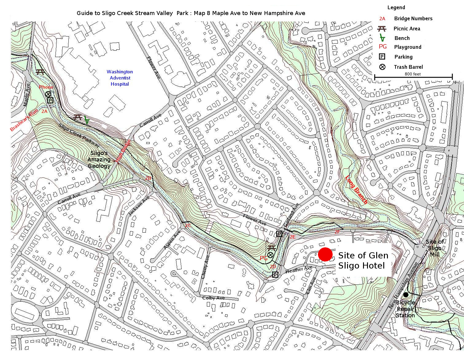
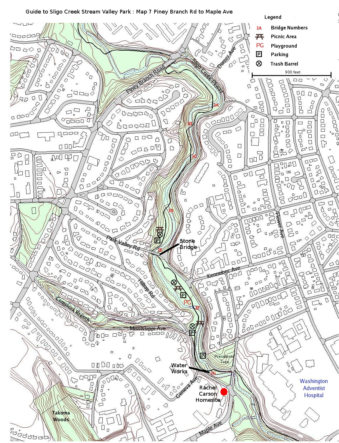
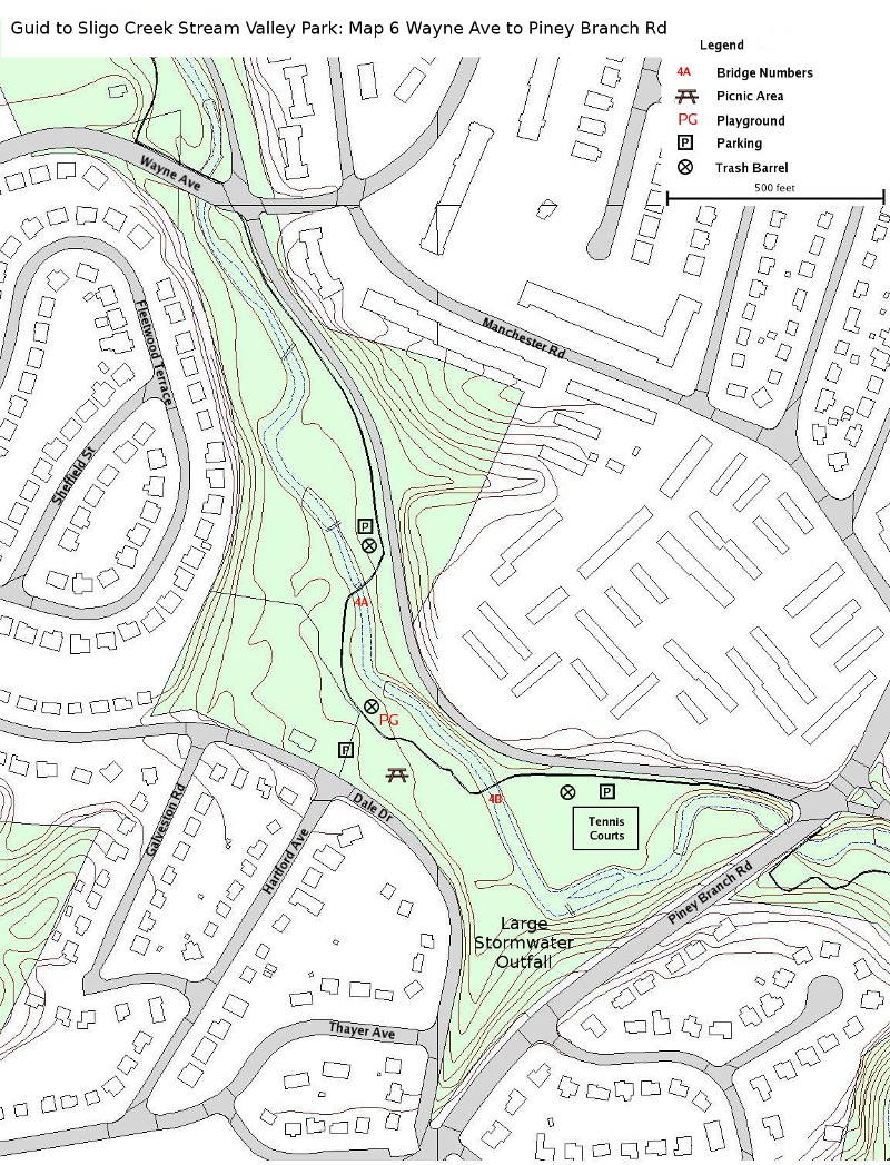
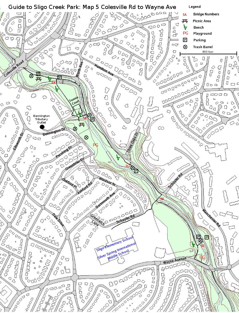
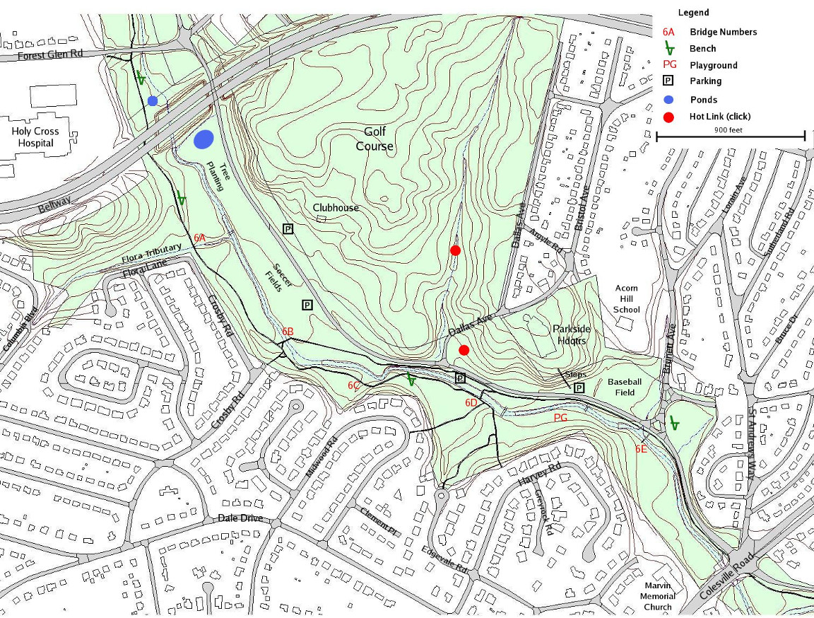
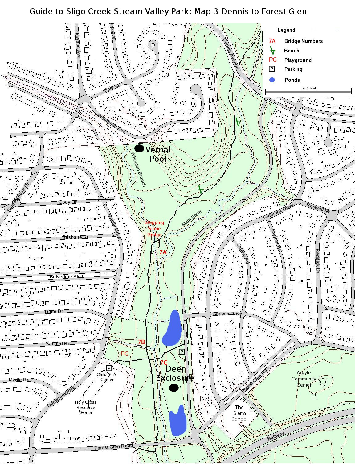
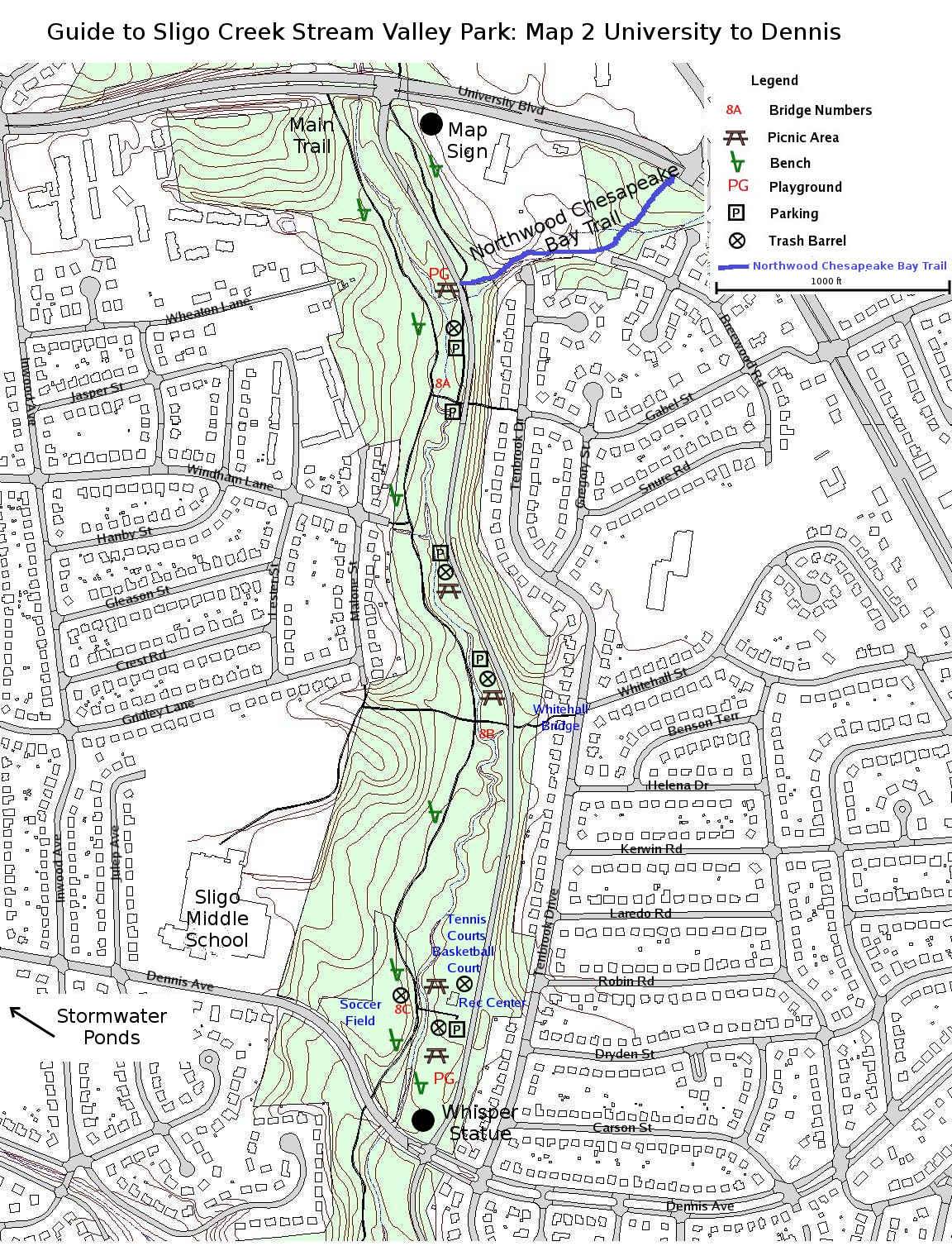
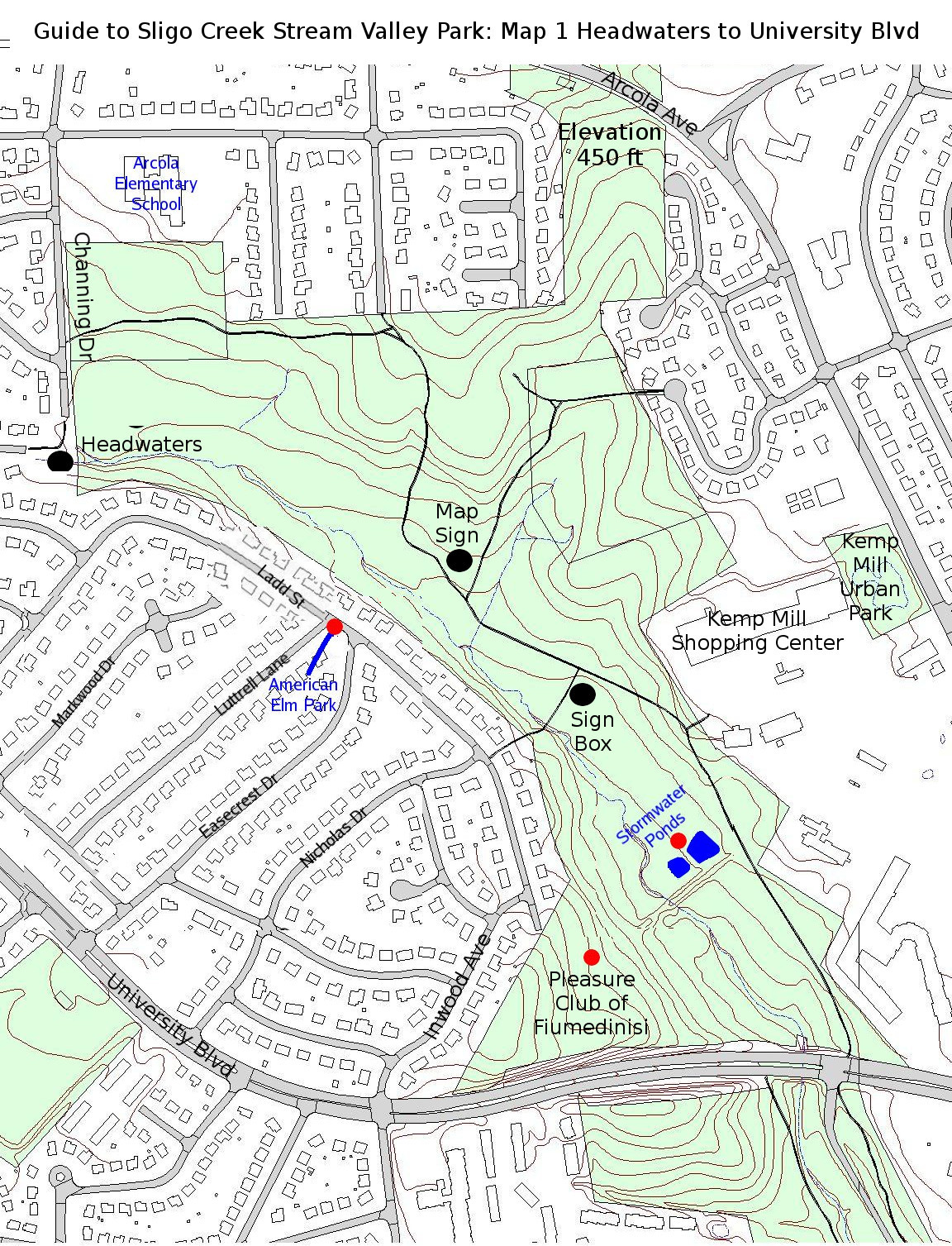
FOSC Trail Guide to Sligo Creek Stream Valley Park with detailed individual Section maps for the entire length of Sligo Creek Park


Sligo Section Map – Sections 1 – 15 showing Sligo tributaries
FOSC Trail Guide to Sligo Creek Stream Valley Park with detailed individual Section maps for the entire length of Sligo Creek Park


